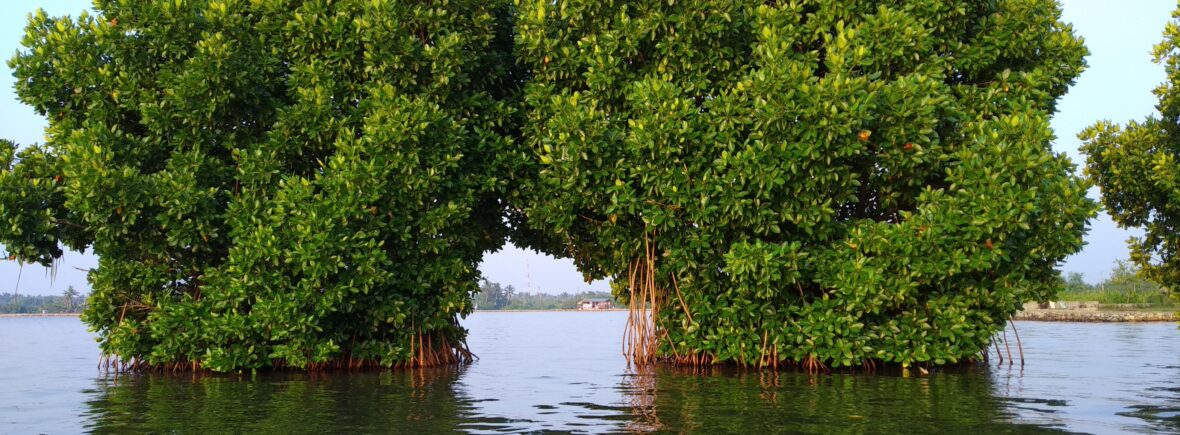
Munroe Thuruthu, in Kollam district, is slowly getting flooded, and people who live there are leaving because of the rising water. They’re joining others who have to move because of climate change. Someone is looking into why this island is sinking and what will happen to the families who still live there.
If you stand on the narrow ridge in Munroe Thuruthu, Kerala, you can see water seeping into a house. Mold is growing on its walls. The roof is falling apart and looks spooky in the sunlight. Tall coconut trees poke up into the sky. A canal is full of dark, dirty water. Even though there’s water all around, the place looks empty and sad. Munroe Thuruthu, which is 13.4 square kilometers, doesn’t seem like a place where people can live anymore. The Munroe Thuruthu, as it is locally known, has been reduced to 3.52 sq km. In recent times, flooding during the high tide makes the area uninhabitable as the water level rises up to 4 metres above sea level.
In 2017, a group called the Kerala Sasthra Sahithya Parishad looked into climate change. They found that Munroe Island would be the first place in Kerala to really feel the effects of global warming. This would affect how people live there a lot.
The study warned that because of global warming, many places in Kerala will be affected. The temperature of the sea is getting hotter, which has caused a lot of low-pressure areas in the Arabian Sea recently. There has been heavy rain in Munroe Island, which made the flooding worse and caused the ground to sink faster. The study also said that the Greenhouse effect is a big danger to the landscape, environment, and the people who live there.
The group of small islands is called Munroe Island after General John Munroe. He was a Scottish soldier and leader who worked as an administrator in the Travancore and Cochin regions from 1810 to 1819. He was liked by the poor people and helped to start important schools in the state. Some people who have lived there a long time say they noticed the sinking after the tsunami in 2004. But some older people think it began after they built the Thenmala dam in 1986. This dam is the second largest water project in Kerala, and they think the tidal waves from it started flooding the land.
Who lives on the island, told India Today that after the tsunami, more tidal water came in and made the soil erode faster. But no one paid attention to how the land was changing.
Researchers say that bad farming, big building projects, and very salty water in the area are making the island worse.
If the government doesn’t help us figure out how to save the island, our future looks really bad. Lots of people have already left. Villagers afraid more will leave soon, and our village will be empty.”
An environmentalist and scientist, said, “Kerala is going to have more problems with nature because it’s very sensitive to changes. We need a plan to save the places in Kerala that are in danger because of the climate. Everyone involved needs to act fast.”

